Remote Sensing
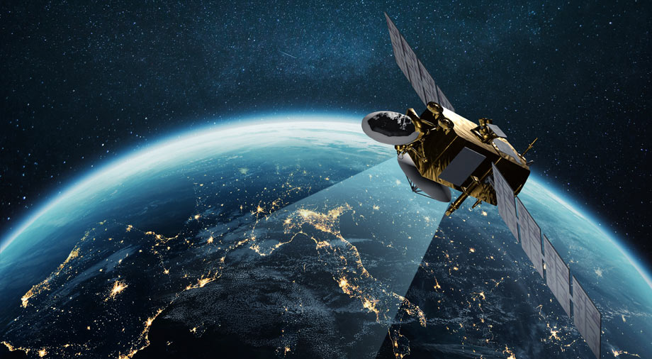
Remote sensing refers to the process of collecting data on the physical characteristics of an area from a distance away. This may involve retrieving data from a height, using aerial vehicles or satellites, or tall structures. Data is collected in raw form or from images and various types of sensors. As the information gathering is completed from a distance, this allows for further applications of many surveying purposes, as it removes potential danger from the terrain on the user and enables further perspectives without being tied down.
Pingbo Tang, Steven Vick, Jiawei Chen, Stephanie German Paal, Chapter 2 – Surveying, Geomatics, and 3D Reconstruction, Editor(s): Ioannis Brilakis, Carl Haas, Infrastructure Computer Vision, Butterworth-Heinemann, 2020, Pages 13-64, ISBN 9780128155035, https://doi.org/10.1016/B978-0-12-815503-5.00002-4.
Video
Geoscience Australia’s National Earth Observation Group provides spatial information to the Australian Government and community to enable informed decisions on key issues such as the environment and community safety. We apply leading-edge processing and scientific analysis to extract and deliver information, contributing to the prosperity and sustainability of the Australian community.
Organizations
- American Society for Photogrammetry and Remote Sensing (ASPRS)
- International Society for Photogrammetry and Remote Sensing (ISPRS)
- IEEE Geoscience and Remote Sensing Society (GRSS)
- Committee on Earth Observation Satellites (CEOS)
- European Association of Remote Sensing Laboratories (EARSeL)
- Canadian Remote Sensing Society (CRSS)