Drones
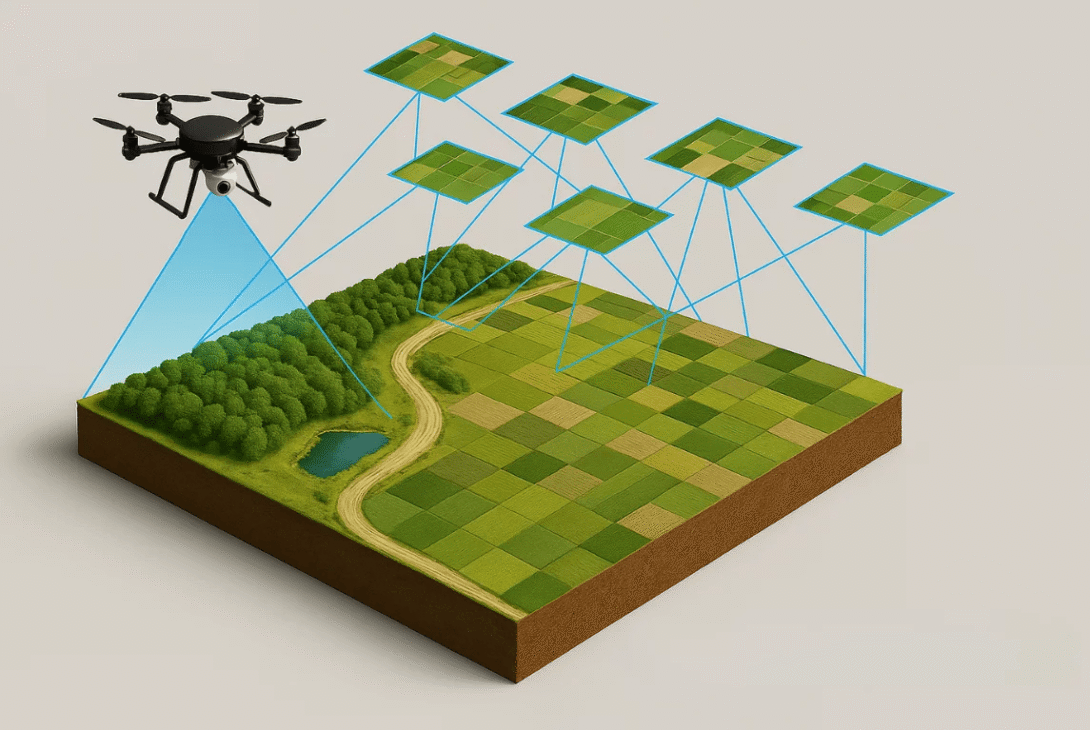
A drone is a small machine capable of flight, operated remotely by pilot or automated path. Classified into nine styles, the diversity of these aircrafts allows for a large variety of purposes for utilization. While originally crafted for use in military operations, applications of drone technology have expanded to countless fields for information gathering, monitoring, and research, as well as recreational activities, film, photography, and more. Mapping is an integral aspect of drone technology, which is used in many differing industries. Various softwares and algorithms are able to process the images captured by the quick information-gathering of drones, and generate high-definition photographs or 3-Dimensional models of the respective area covered. These products map out the space covered by the flight path of the drone, which would be determined in order to efficiently cover the area for the purpose of the map.
Sharifah Mastura Syed Mohd Daud, Mohd Yusmiaidil Putera Mohd Yusof, Chong Chin Heo, Lay See Khoo, Mansharan Kaur Chainchel Singh, Mohd Shah Mahmood, Hapizah Nawawi, Applications of drone in disaster management: A scoping review, Science & Justice, Volume 62, Issue 1, 2022, Pages 30-42, ISSN 1355-0306, https://doi.org/10.1016/j.scijus.2021.11.002.