Overview
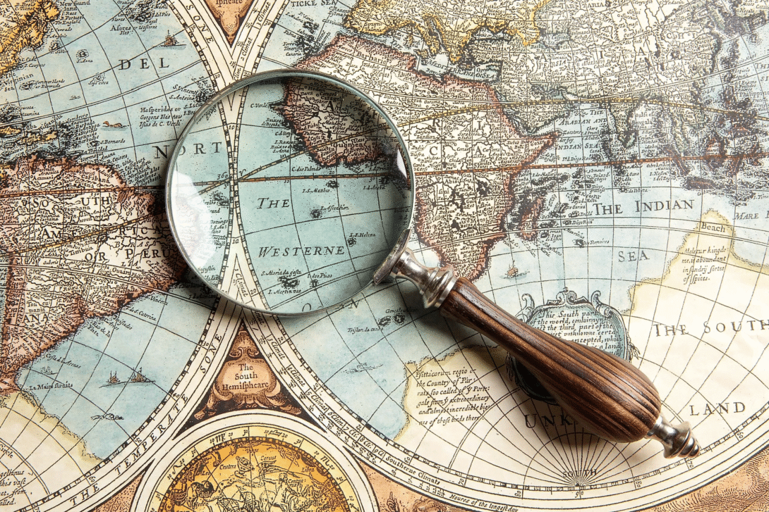
Cartography is the art and science of designing, creating, and interpreting maps to represent geographic information about the Earth’s surface or other spatial data. It involves translating real-world locations and features — such as terrain, boundaries, roads, and natural resources — into a simplified, symbolic visual format that can be easily understood and used for navigation, planning, or analysis. Cartographers must make deliberate choices about scale, projection, and symbolization to balance accuracy with clarity, since representing a three-dimensional curved surface on a flat map inevitably introduces some distortion. Modern cartography has evolved significantly with the advent of Geographic Information Systems (GIS), satellite imagery, and digital tools, allowing for highly detailed, interactive, and continuously updated maps that go far beyond traditional paper cartography, incorporating layers of data such as population density, climate patterns, and infrastructure networks.