Overview
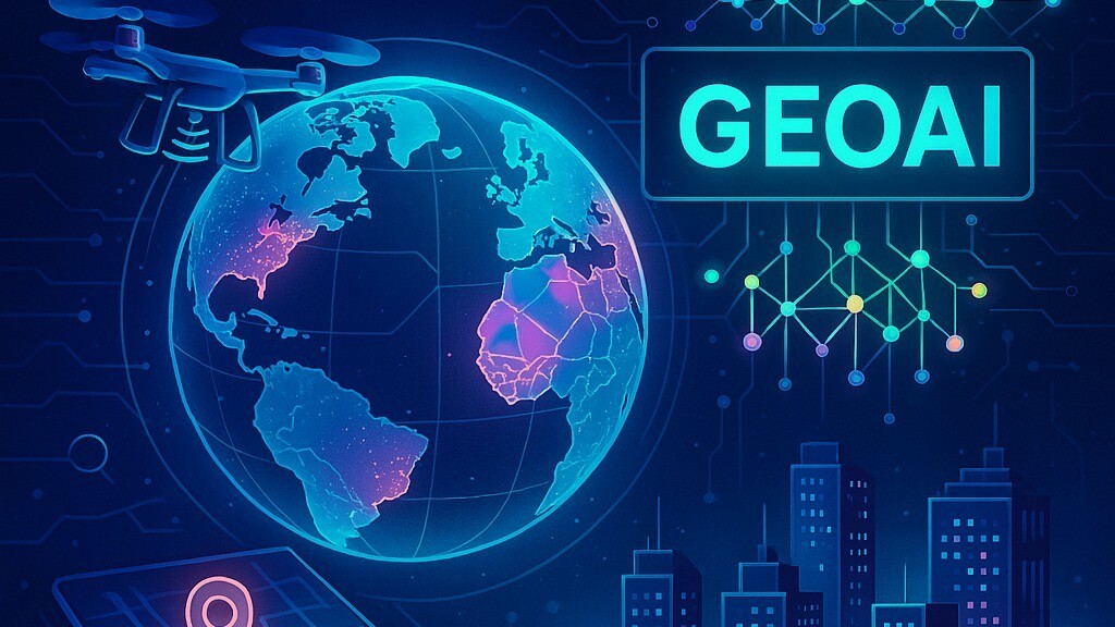
GeoAI, or Geographic Artificial Intelligence, is an emerging interdisciplinary field that combines geographic information science with artificial intelligence techniques, such as machine learning, deep learning, and computer vision, to analyze and interpret spatial data at scale. Rather than relying solely on traditional GIS methods, which often require manual rule-based analysis, GeoAI enables systems to automatically detect patterns, classify features, and make predictions from complex datasets like satellite imagery, LiDAR point clouds, and real-time sensor feeds. This allows for tasks such as automatically identifying buildings or roads in aerial photos, predicting natural disasters, monitoring deforestation, or optimizing urban infrastructure, often with far greater speed and accuracy than manual analysis would allow. As sensor networks, satellite constellations, and location-based data collection continue to expand, GeoAI is becoming increasingly central to fields like environmental monitoring, disaster response, precision agriculture, and smart city planning, where understanding spatial patterns quickly and at scale is critical.
Video
Organizations
- United States Geospatial Intelligence Foundation (USGIF)
- Environmental Systems Research Institute (ESRI) GeoAI
- Alan Turing Institute – Urban Analytics
- Oak Ridge National Laboratory (ORNL) GeoAI
- Ghent University GeoAI Research Center
- University at Buffalo GeoAI Lab
- University of Wisconsin–Madison GeoDS Lab
- United States Geological Survey (USGS) – GeoAI Research