Surveying
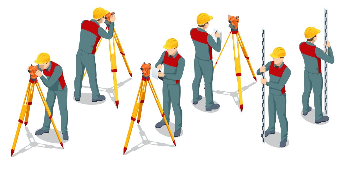
Surveying is the process of data collection including visual, geometric, and spatial information of geographic forms and infrastructure. This knowledge is used by various industries, such as construction, architecture, urban planning, and maintenance, as well as municipalities. Differing techniques are able to be applied for different purposes, such as more detailed images used for defect detection or spatial data used for 3D reconstruction of the area. Oftentimes, integration of multiple surveying technologies is ideal to create an efficient portfolio of the subject. These techniques, such as 3D laser scanning, photogrammetry, and videogrammetry, have varying levels of time and effort required for use due to mobility and processing, creating their own network of planning and zoning.
Pingbo Tang, Steven Vick, Jiawei Chen, Stephanie German Paal, Chapter 2 – Surveying, Geomatics, and 3D Reconstruction, Editor(s): Ioannis Brilakis, Carl Haas, Infrastructure Computer Vision, Butterworth-Heinemann, 2020, Pages 13-64, ISBN 9780128155035, https://doi.org/10.1016/B978-0-12-815503-5.00002-4.