Overview
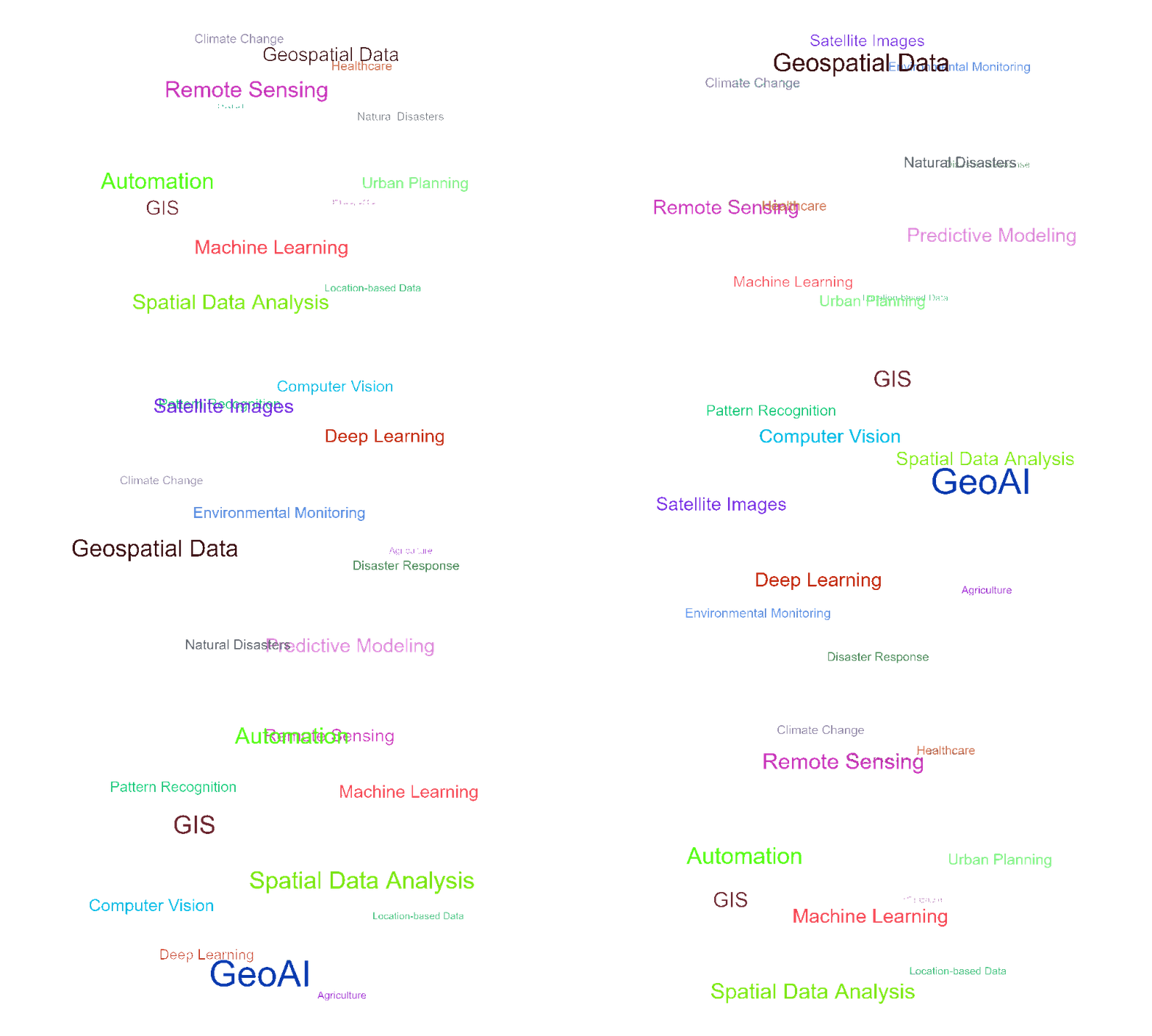
GeoAI refers to Geospatial Artificial Intelligence, which is the integration of Geospatial Information Systems (GIS) with Artificial Intelligence (AI) technologies to analyze and interpret geographic or spatial data. Essentially, it combines AI’s ability to process large datasets, identify patterns, and make predictions with the rich, location-based data in geographic information systems.
Key features and components of GeoAI include:
- Spatial Data Analysis: It uses AI techniques (like machine learning and deep learning) to analyze spatial data—data that is related to locations on Earth. This includes satellite images, sensor data, topography, land use data, and other geographic features.
- Pattern Recognition: GeoAI can identify patterns or anomalies in geographic data that may not be apparent to humans. For example, it can detect deforestation trends, changes in urbanization, or the spread of disease.
- Predictive Modeling: It can help predict future events or changes based on historical geospatial data. For instance, predicting the impact of climate change, forecasting natural disasters, or tracking the spread of diseases geographically.
- Automation of GIS Tasks: GeoAI can automate routine GIS tasks, such as data processing, classification, or clustering, which traditionally required manual intervention.
- Computer Vision and Remote Sensing: In many cases, GeoAI uses computer vision to analyze images captured by satellites or drones. This allows for accurate mapping and real-time updates of areas that are difficult to reach or monitor manually.
Applications of GeoAI:
- Urban Planning: Optimizing the design and layout of cities, predicting traffic patterns, and planning for sustainable development.
- Environmental Monitoring: Tracking deforestation, water pollution, biodiversity, and other environmental factors.
- Disaster Response: Identifying areas at risk of natural disasters like floods, earthquakes, and wildfires, and deploying resources more efficiently.
- Agriculture: Monitoring crop health and predicting yields based on geospatial data, climate, and soil conditions.
- Healthcare: Mapping the spread of diseases and predicting potential outbreaks based on geographic factors.
- Disaster resilience: Using geospatial data and AI to assess community vulnerability, strengthen infrastructure, improve emergency preparedness, and support faster recovery before, during, and after natural disasters.
GeoAI is growing rapidly and is being applied across fields like climate science, defense, agriculture, and disaster management. It’s a powerful tool for turning complex spatial data into actionable